Turpan
.
Turpan a small, 300k people, town is notable because:
1 Although average temps are 14c in Summer they reach 50 c. The rocks of the nearby flaming mountains have hit 80C.
2 It’s the second or third lowest land in the world after the Dead Sea and
3 It’s 70% Uhygur population Uyghurs are of Turkish ethnicity.
The day divides in two parts, the morning activity and lunch followed by siesta and then the evening activities from 6 pm
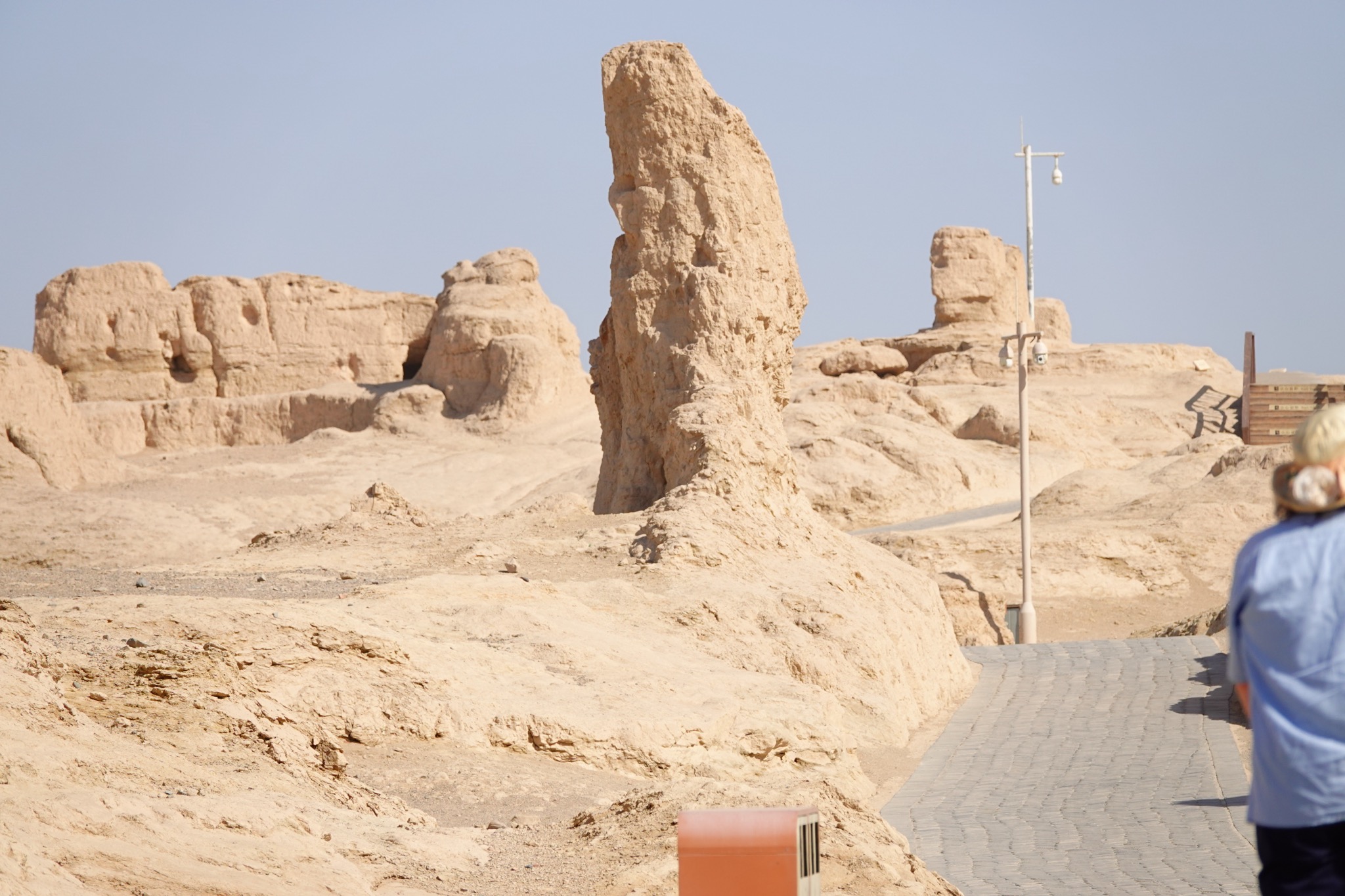
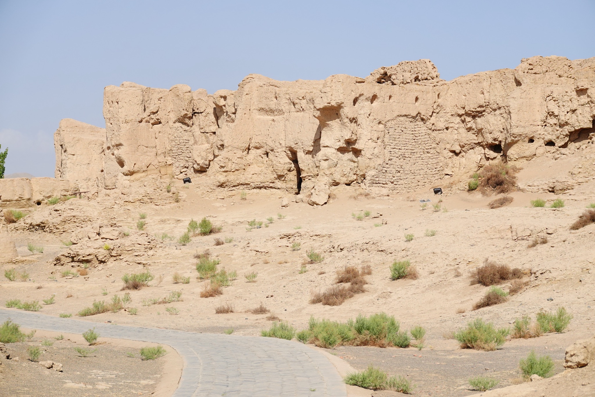
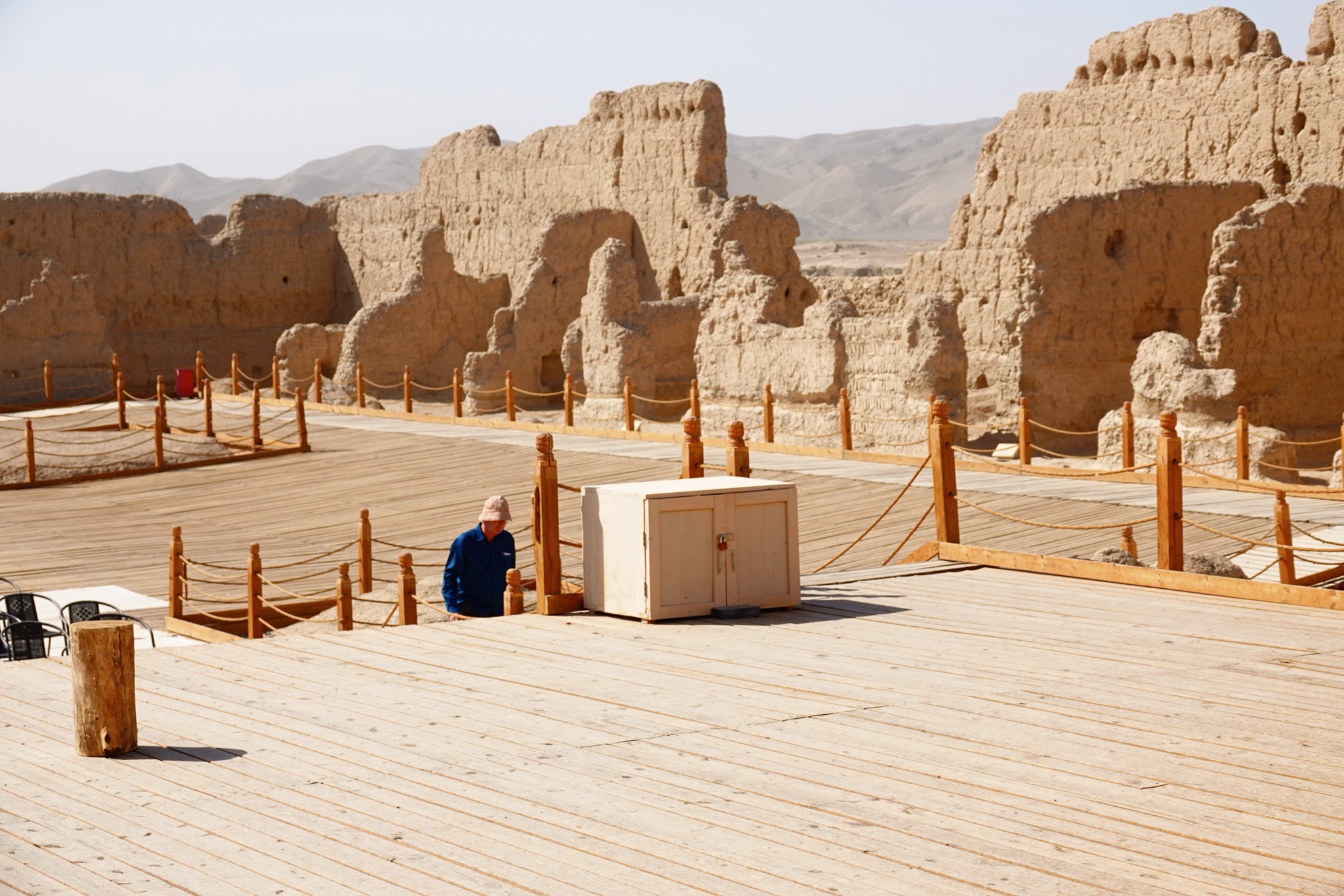
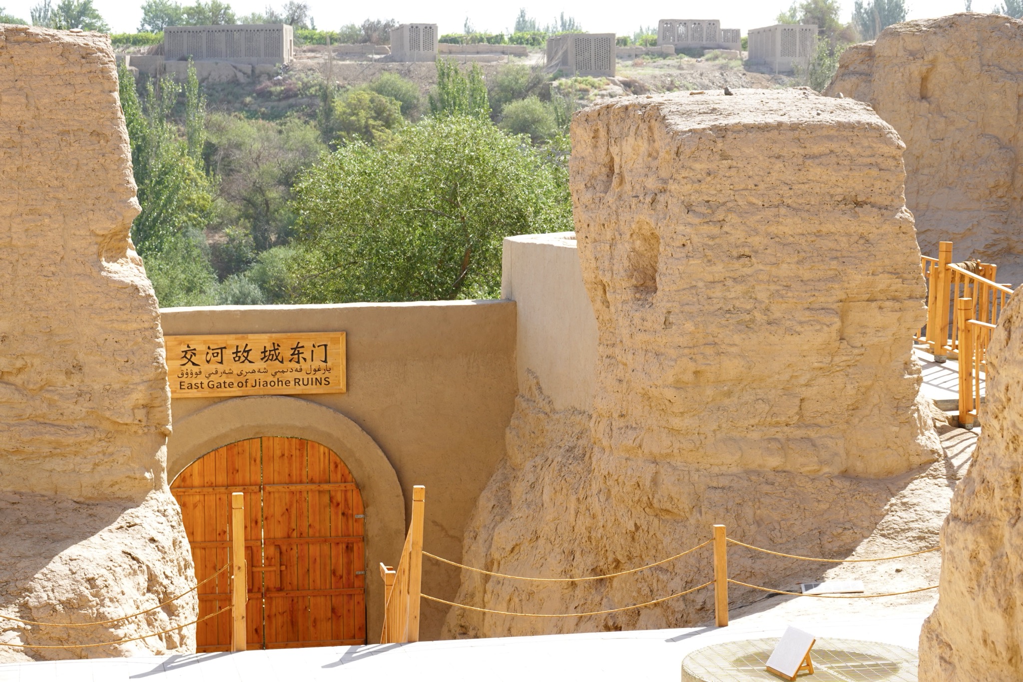
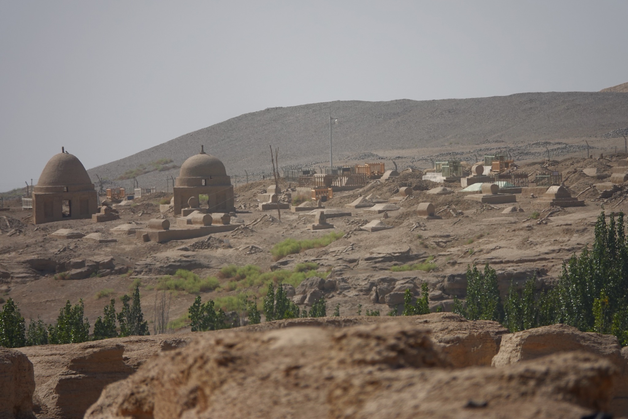
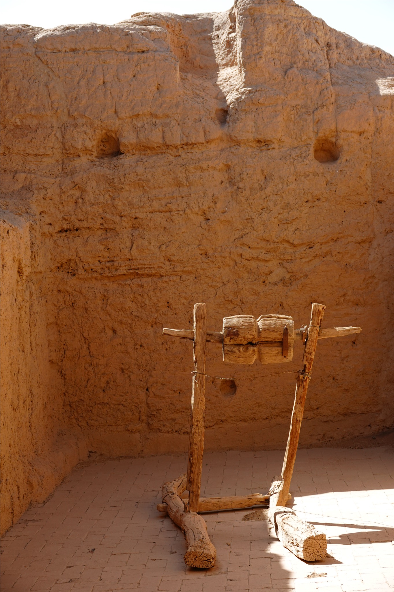
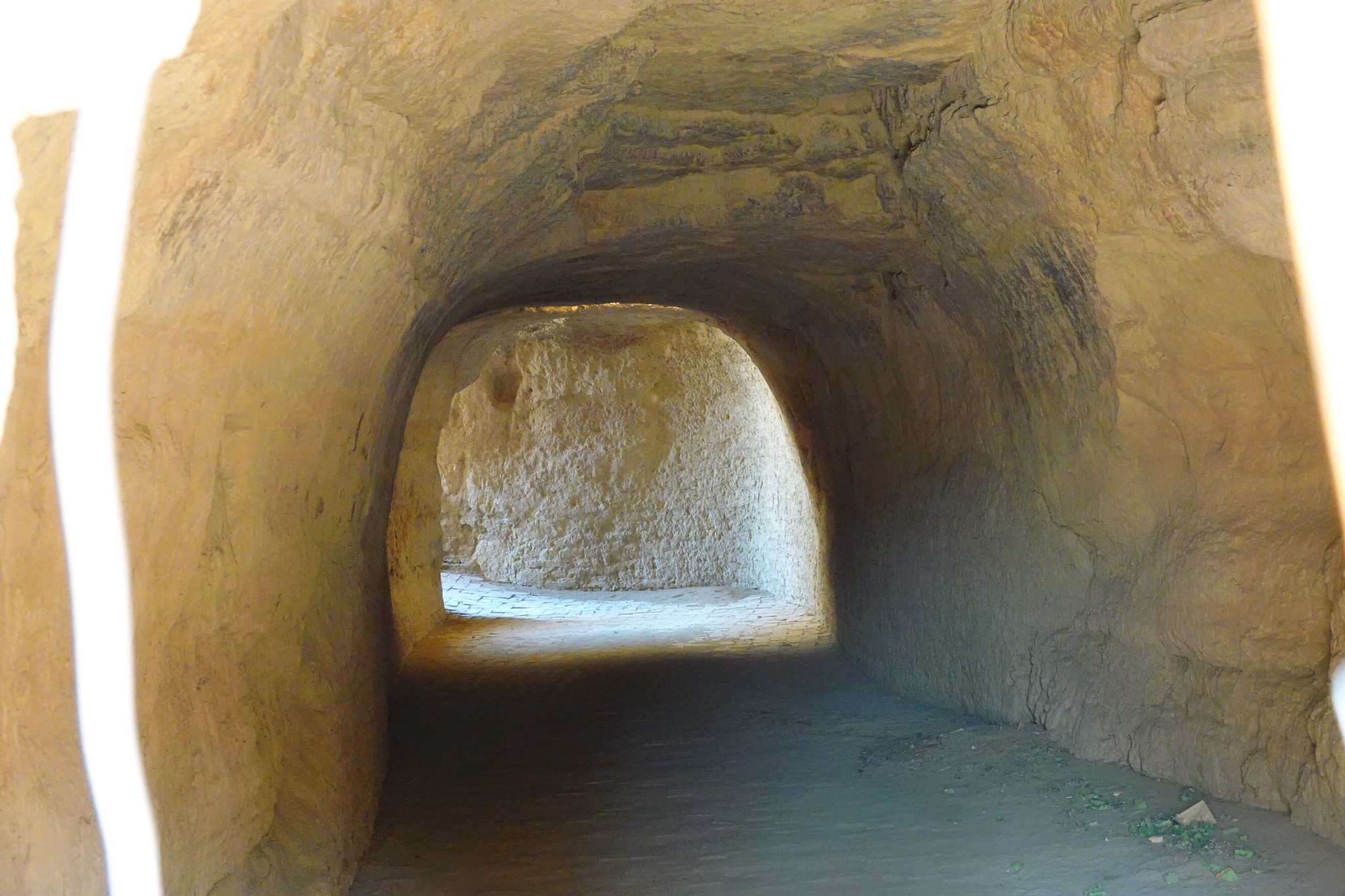
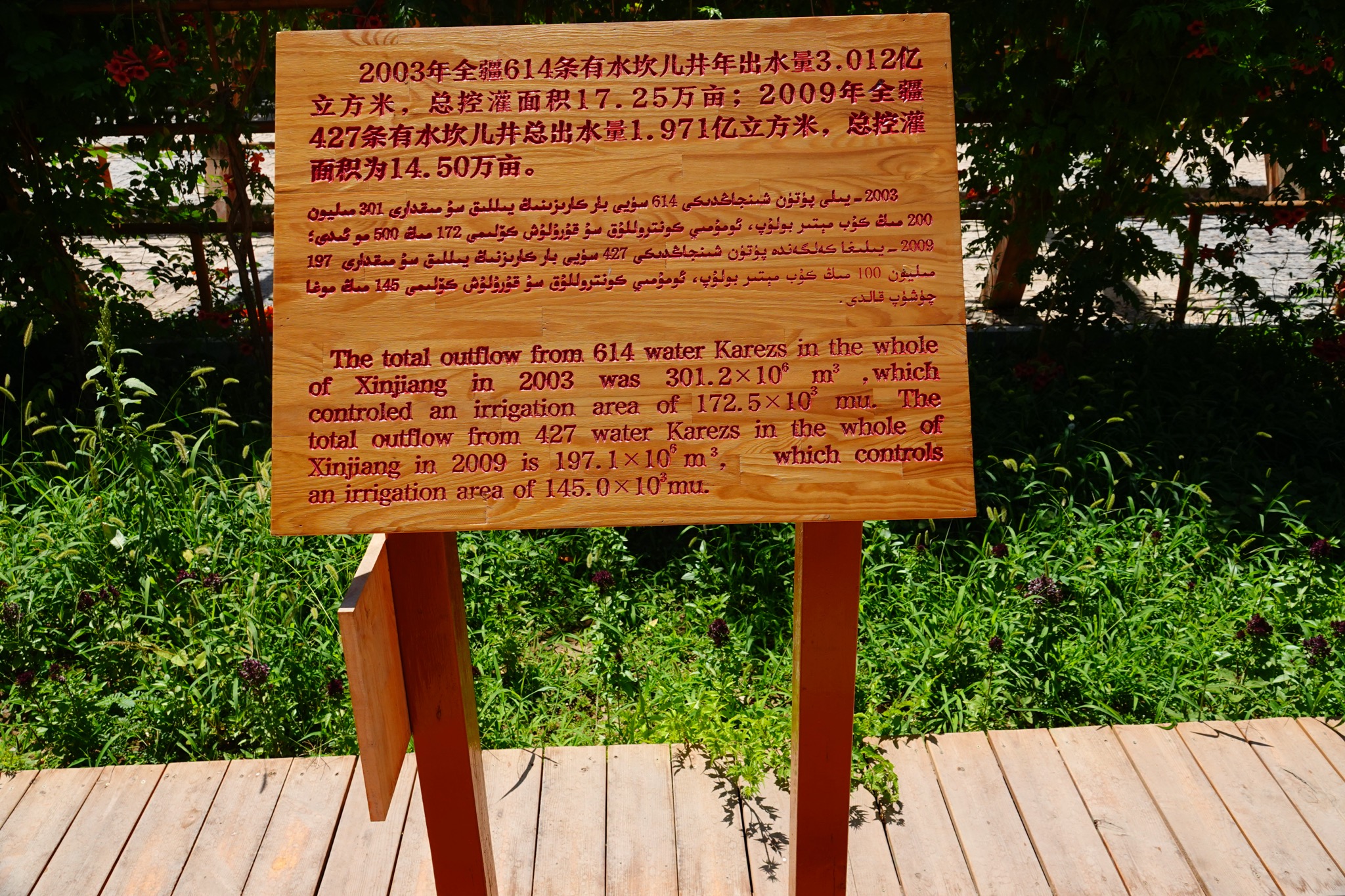
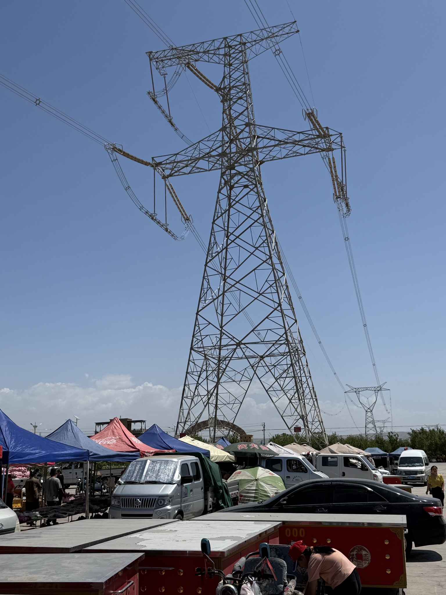
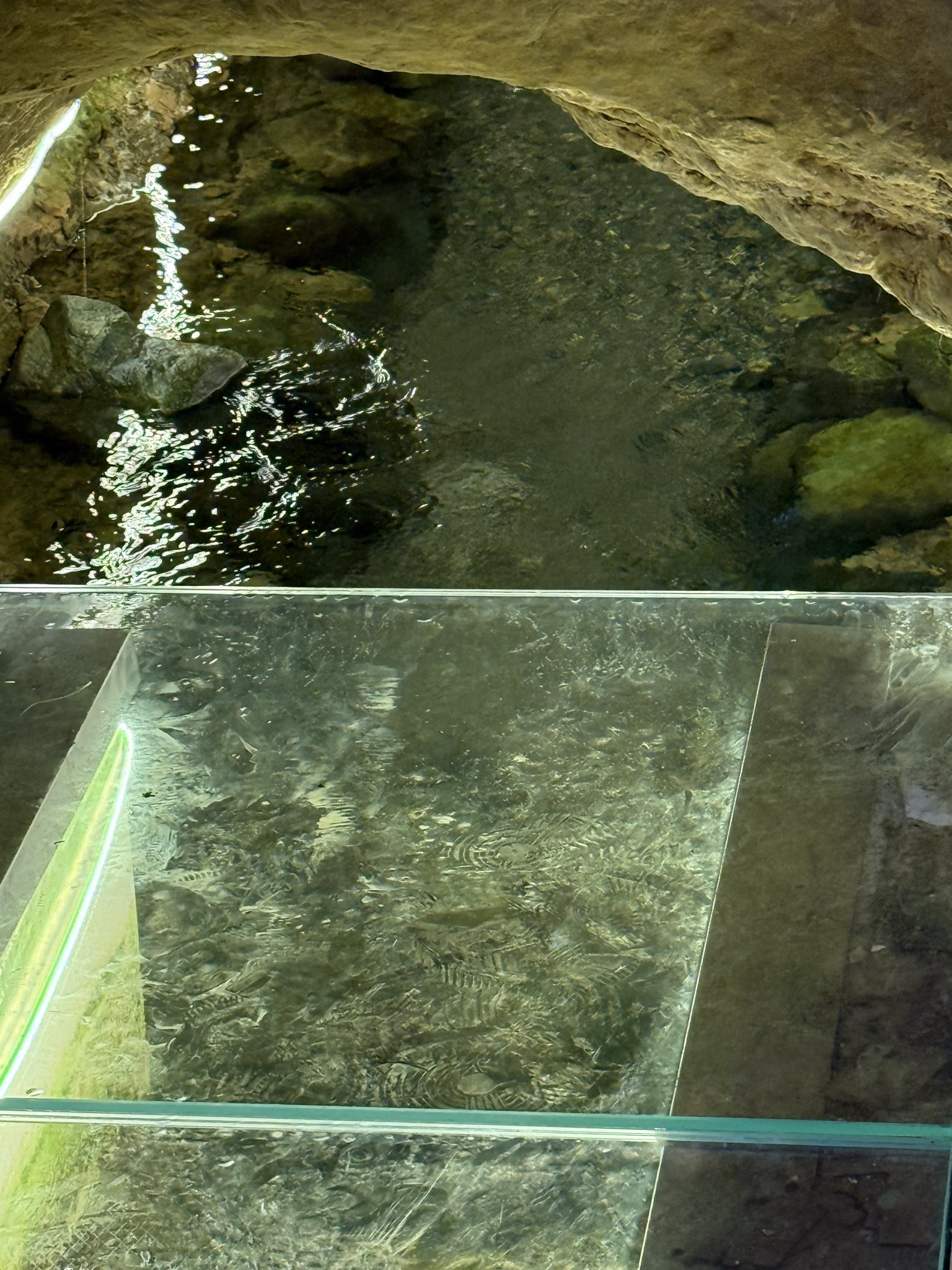
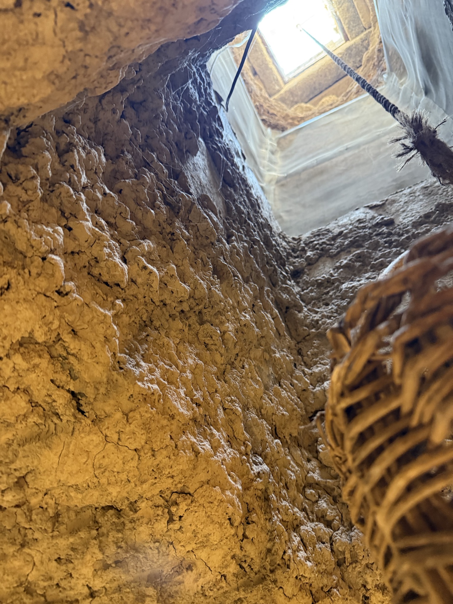
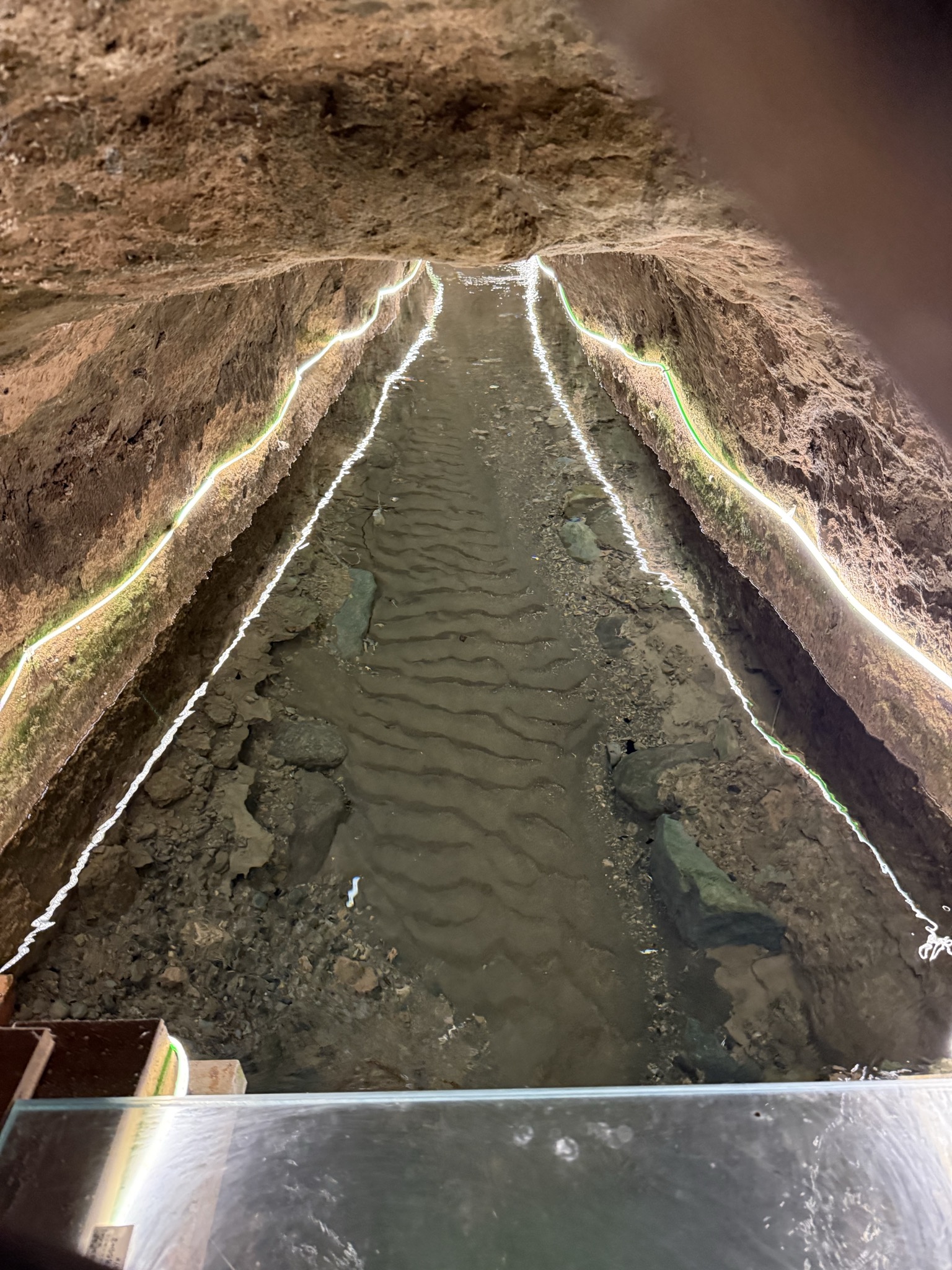
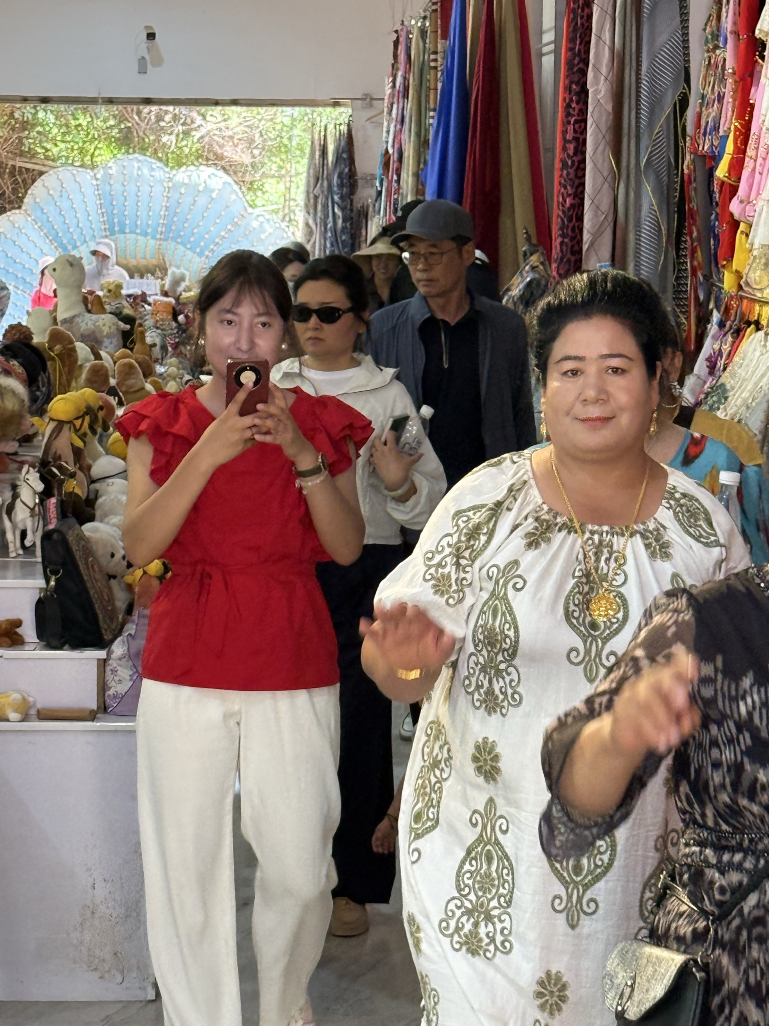
In the morning we visited the ancient city of Jiahoe. No shade and about 34C. Then the farmers market, then the ancient or possibly as recent as 1700 Karez irrigation system. Only about 1/3 of the Karez system channels still work. The leading explanation is that from 1950 to 1990 the population went from 5 million to 20th million putting too many demands on the water table and so that has declined. Our guide Omar owns 9 “moos” of land about 1/4 of an acre but struggles to make money from it.
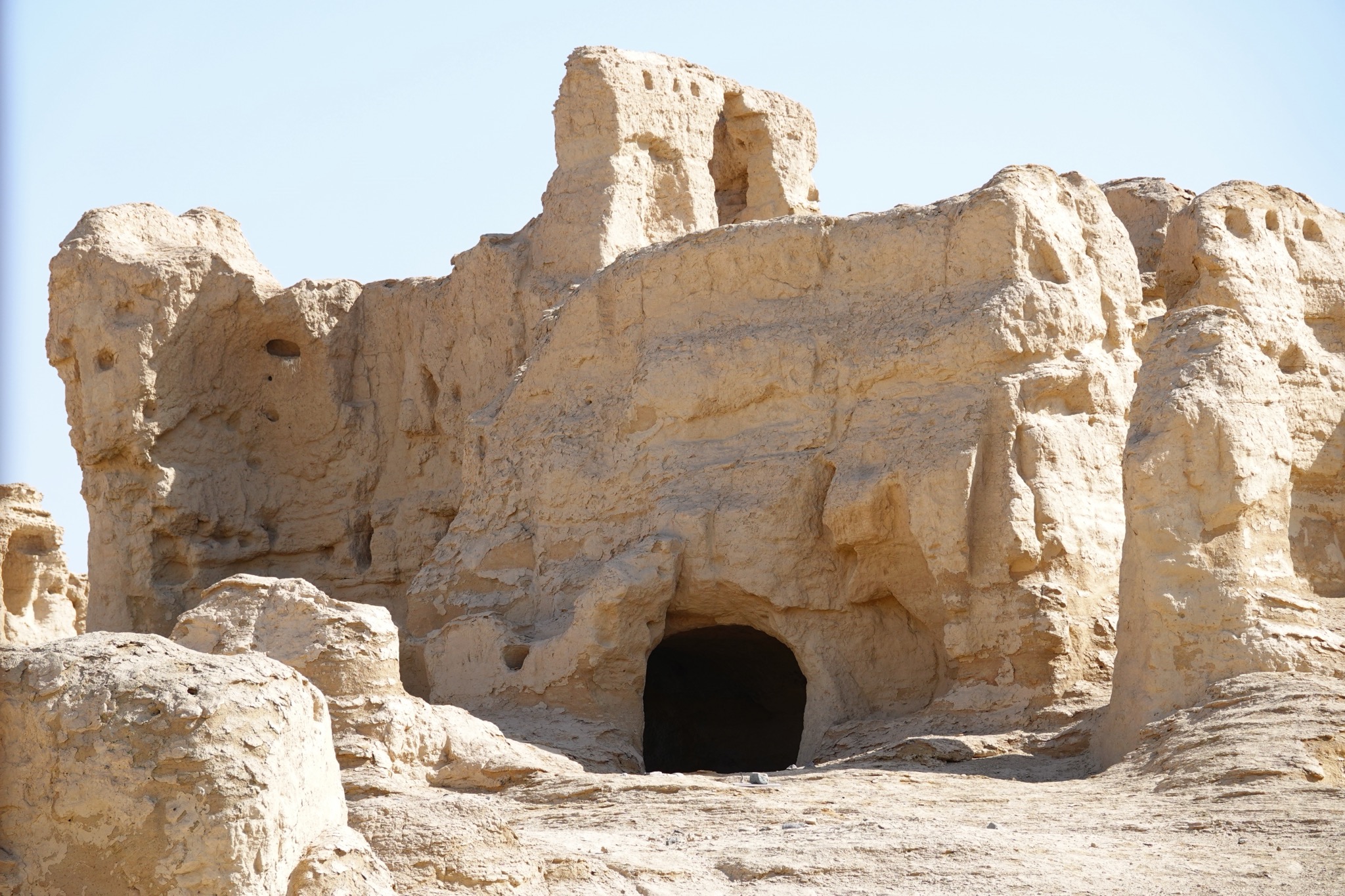
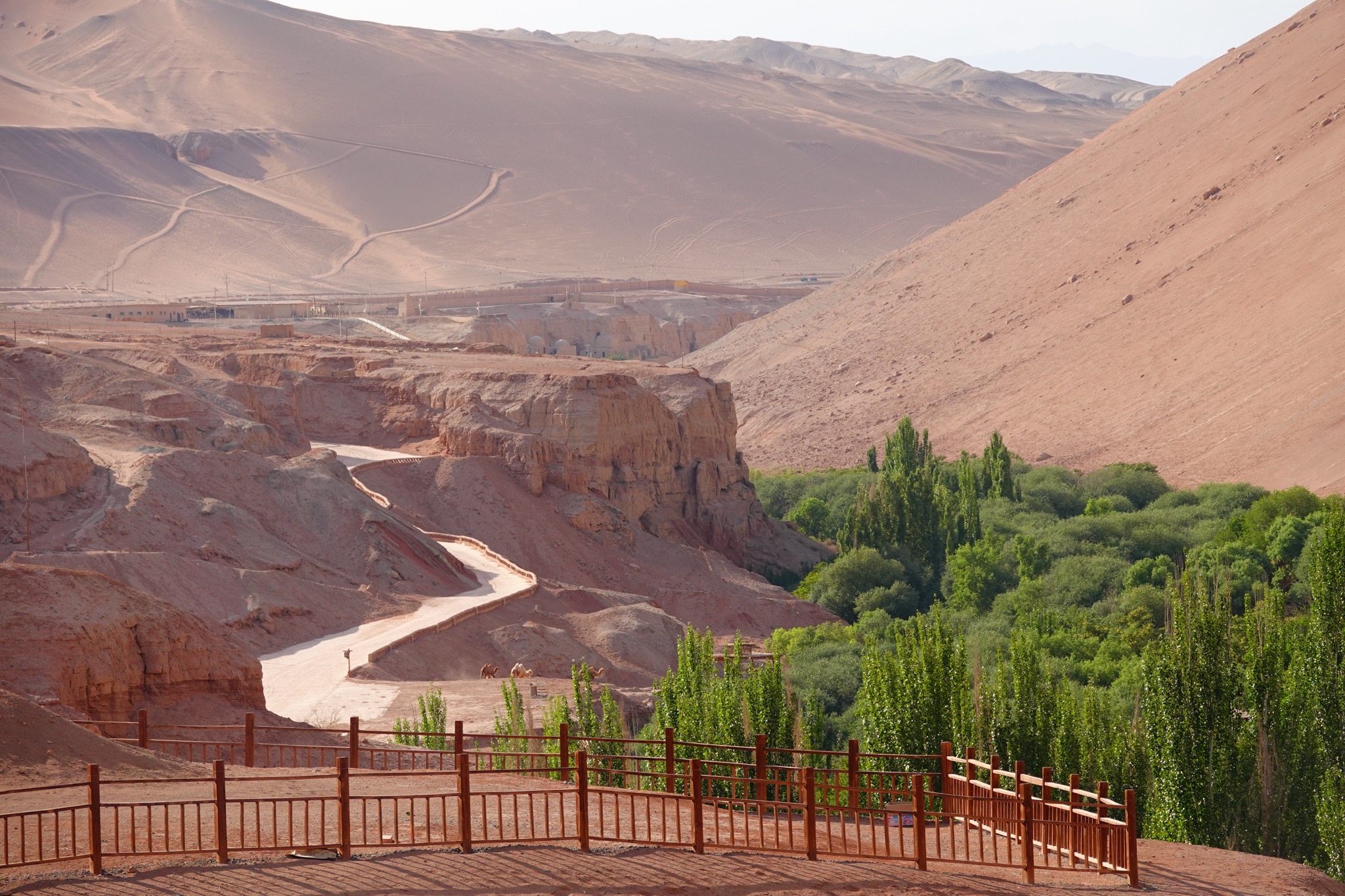
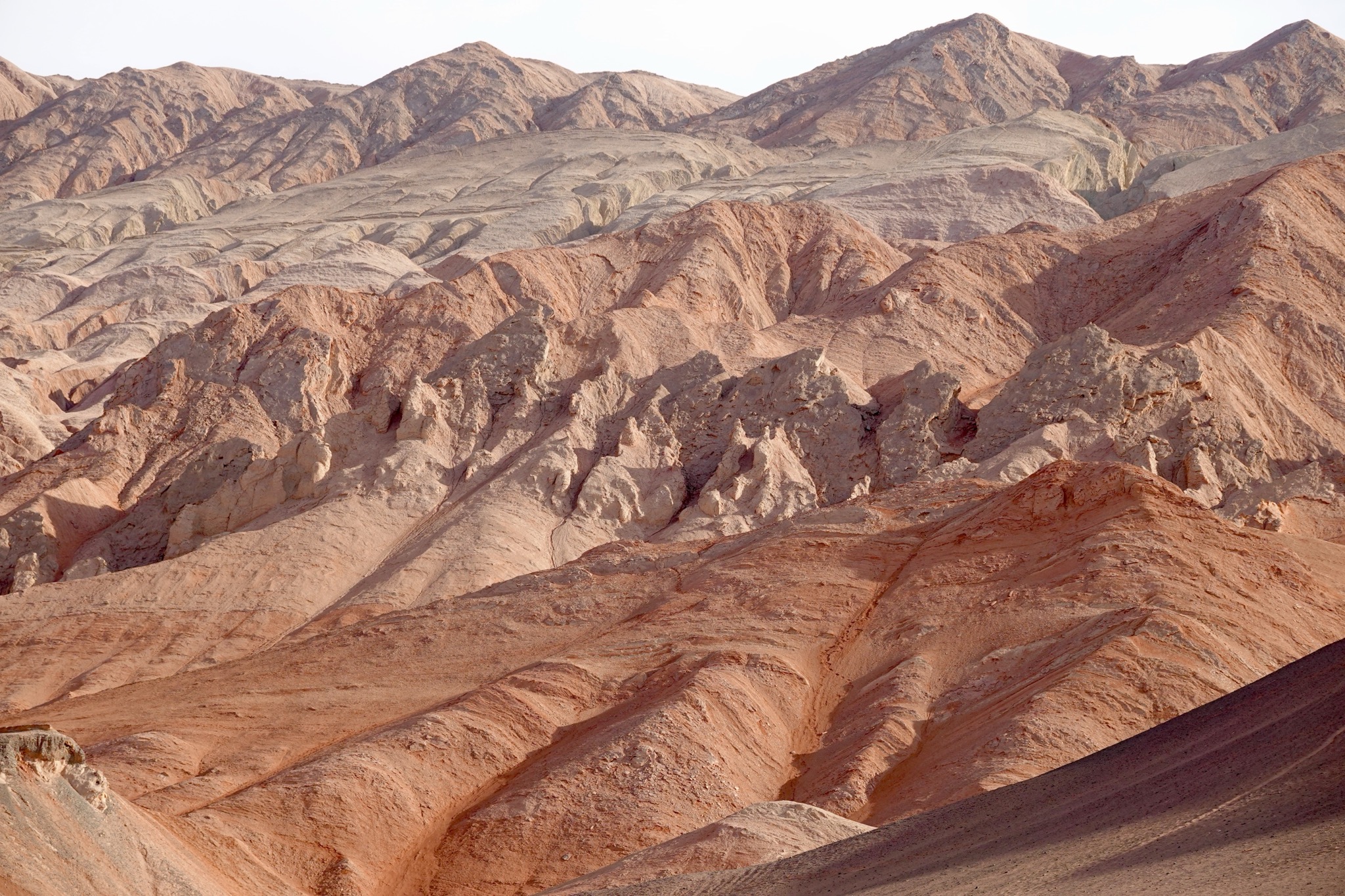
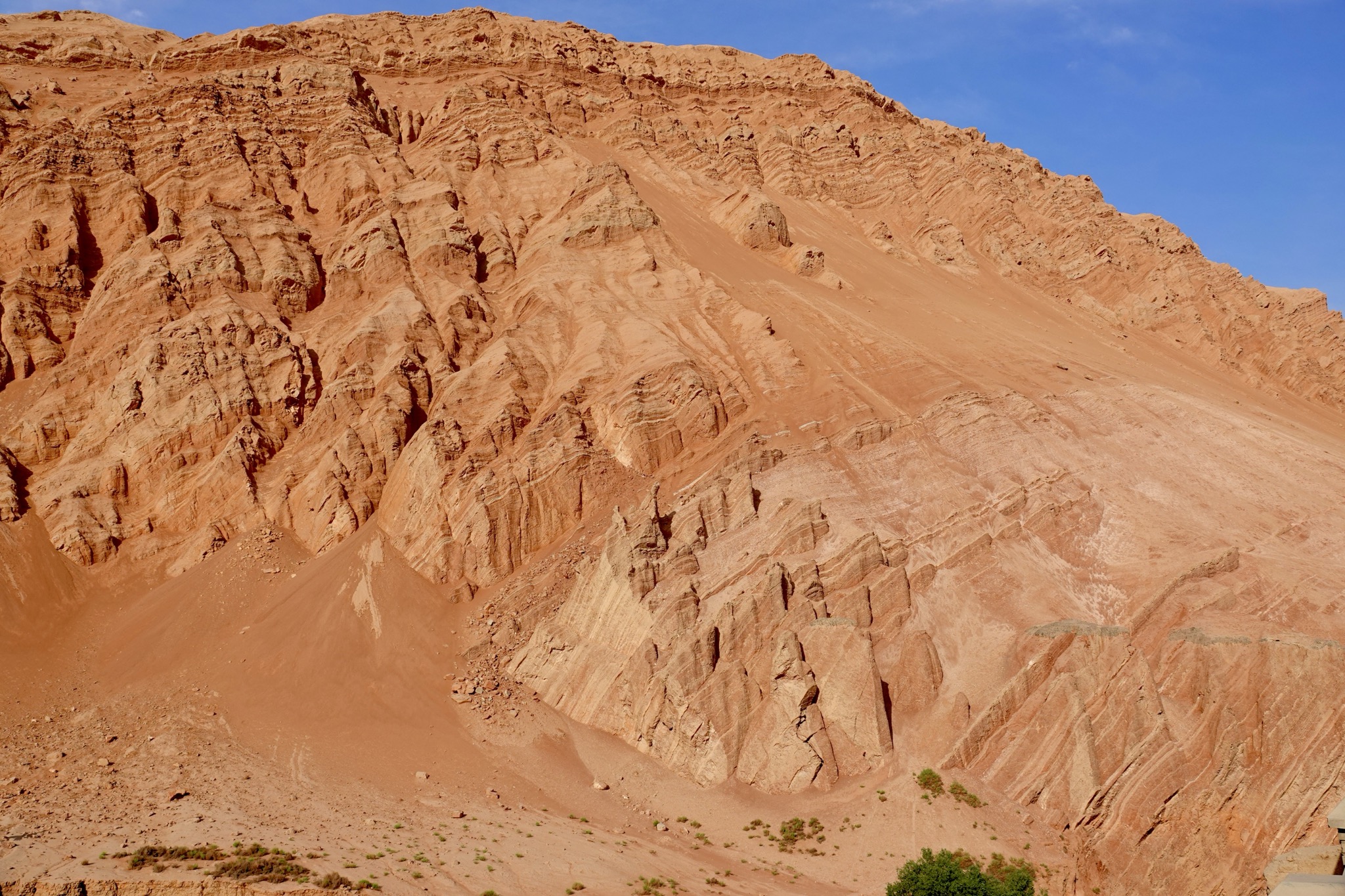
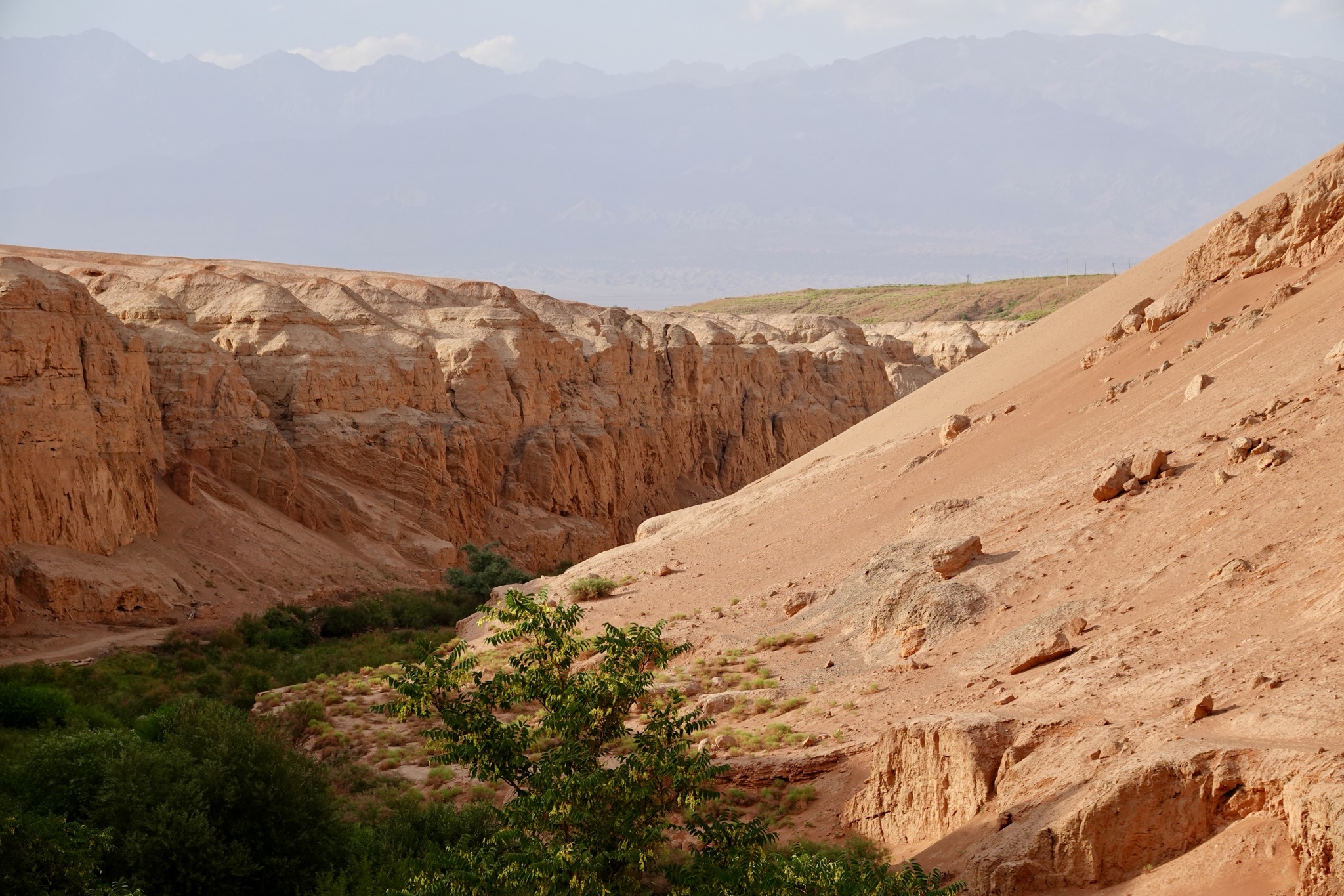
After siesta we drove out of town to some Buddhist cave temples located in the burning mountain area. Temperatures on the rocks can reach 80C but it was only 41. The caves have had their paintings culturally appropriated by German, English and Japanese explorers in the early 1900s.
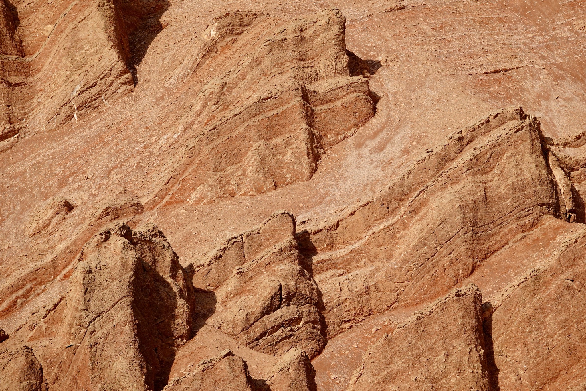
No photos inside the caves but the rocks were photogenic enough.
After our excellent guide took us to his local hairdresser where I had my haircut for about $3. Dinner was at the hotel.
Turpan history, significance
Turpan sits in a furnace. It is a Uyghur oasis on the northern arm of the Silk Road, where the road skirting the top of the Taklamakan desert ran along the foot of the Tian Shan, watered by snowmelt and dotted with caravan towns. What sets Turpan apart is the ground beneath it: the Turpan Depression, a basin sunk well below sea level, among the hottest and lowest places in China. The floor of the basin holds Aydingkol Lake (Moon Lake), a dried salt pan whose bed lies around 154 metres below sea level — the lowest land in China, and by most reckonings the second- or third-lowest point on the Earth’s land surface after the shores of the Dead Sea. None of this should support agriculture, yet Turpan grows some of the best grapes and raisins in Asia, fed for centuries by an ingenious system of underground channels called karez. It is a place where geography did its worst and human engineering answered back.
Setting
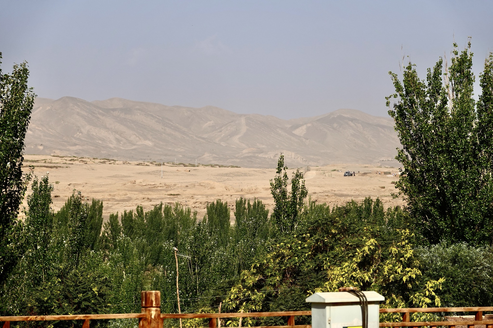
The Turpan Depression is a rain-shadow trap. The Tian Shan to the north wring the moisture out of incoming weather, leaving the basin floor baking under summer temperatures that routinely top 40°C and have given the surrounding red ridges their name, the Flaming Mountains. Rainfall is negligible; evaporation is brutal. The basin’s saving grace is altitude in reverse — it sits so low that gravity does the irrigating. Snowmelt from the Tian Shan sinks into the gravel apron at the mountains’ base, and the karez tap that groundwater and lead it downhill through tunnels to the oasis, losing little to the sun on the way. Without that meltwater and those tunnels there is no Turpan, only salt and stone. The combination — extreme heat, long growing season, reliable underground water — is what produces the famous sugar-heavy grapes.
A kingdom carved between empires
Turpan’s recorded history begins with the Jushi (Cheshi) kingdom, the local power whose people built the first cities here in the centuries before the Common Era. The oasis became a prize in the long contest between the Han Chinese state and the steppe confederations to its north, changing hands repeatedly. The Han garrisoned it; later the Tang absorbed it outright, establishing the prefecture of Xizhou in the seventh century and, for a time, basing the Protector General of the Western Regions here — the senior Chinese military command in the far west.
Around this Tang core grew the Kingdom of Gaochang (Karakhoja), a settled Buddhist state with deep Chinese and Tocharian colouring. In 843, refugees from the collapsing Uyghur Khaganate on the Mongolian steppe migrated south and founded a new Uyghur kingdom centred on Gaochang, known by the title its rulers took, Idiqut (“lord of fortune”). These Buddhist Uyghur kings wintered at Gaochang and summered in the cooler hills, sponsored the painting of the Bezeklik caves, and held the oasis as a cultured crossroads until it fell under Kara-Khitan and then Mongol suzerainty — the Idiqut Barchuq submitted to Genghis Khan around 1209–11.
The religious record is layered like the ruins. Buddhism dominated for centuries, but Turpan was also a stronghold of Manichaeism (the Uyghur khaghans had adopted it on the steppe) and home to Nestorian Christian communities — three faiths sharing one oasis, their texts later recovered from the dry tombs and caves. Islam arrived comparatively late, becoming the settled faith of the region roughly in the fourteenth and fifteenth centuries; the Uyghurs of Turpan are Muslim today.
Jiahoe
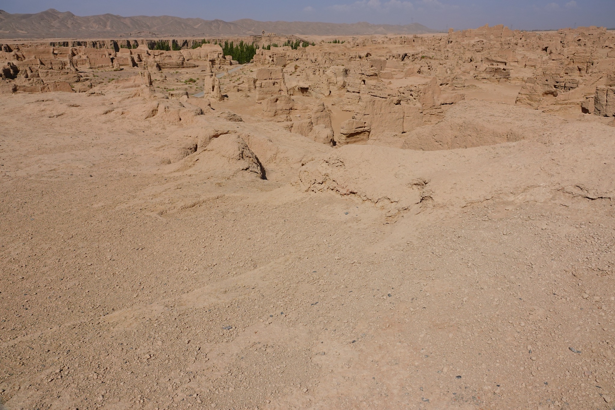
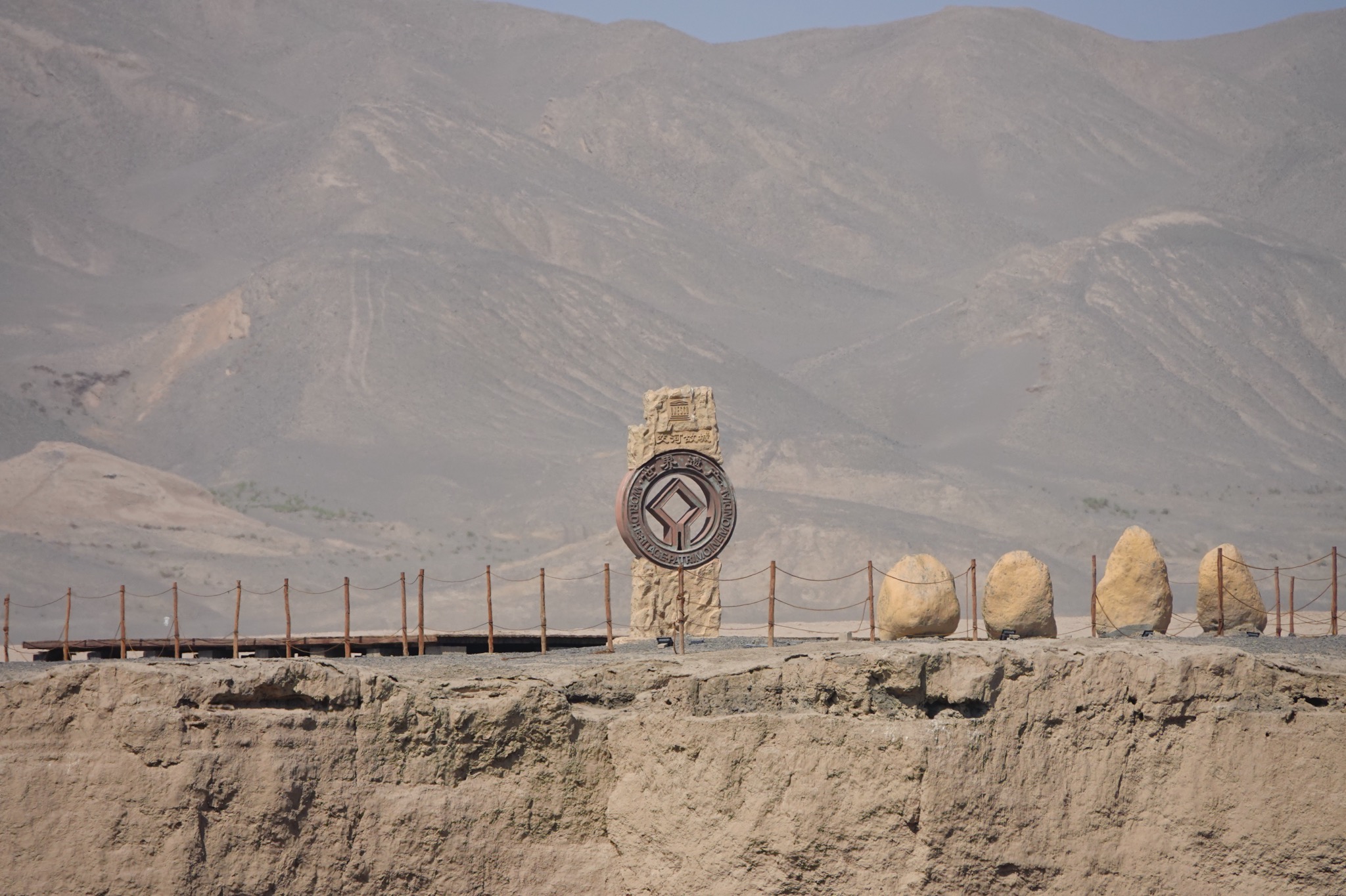
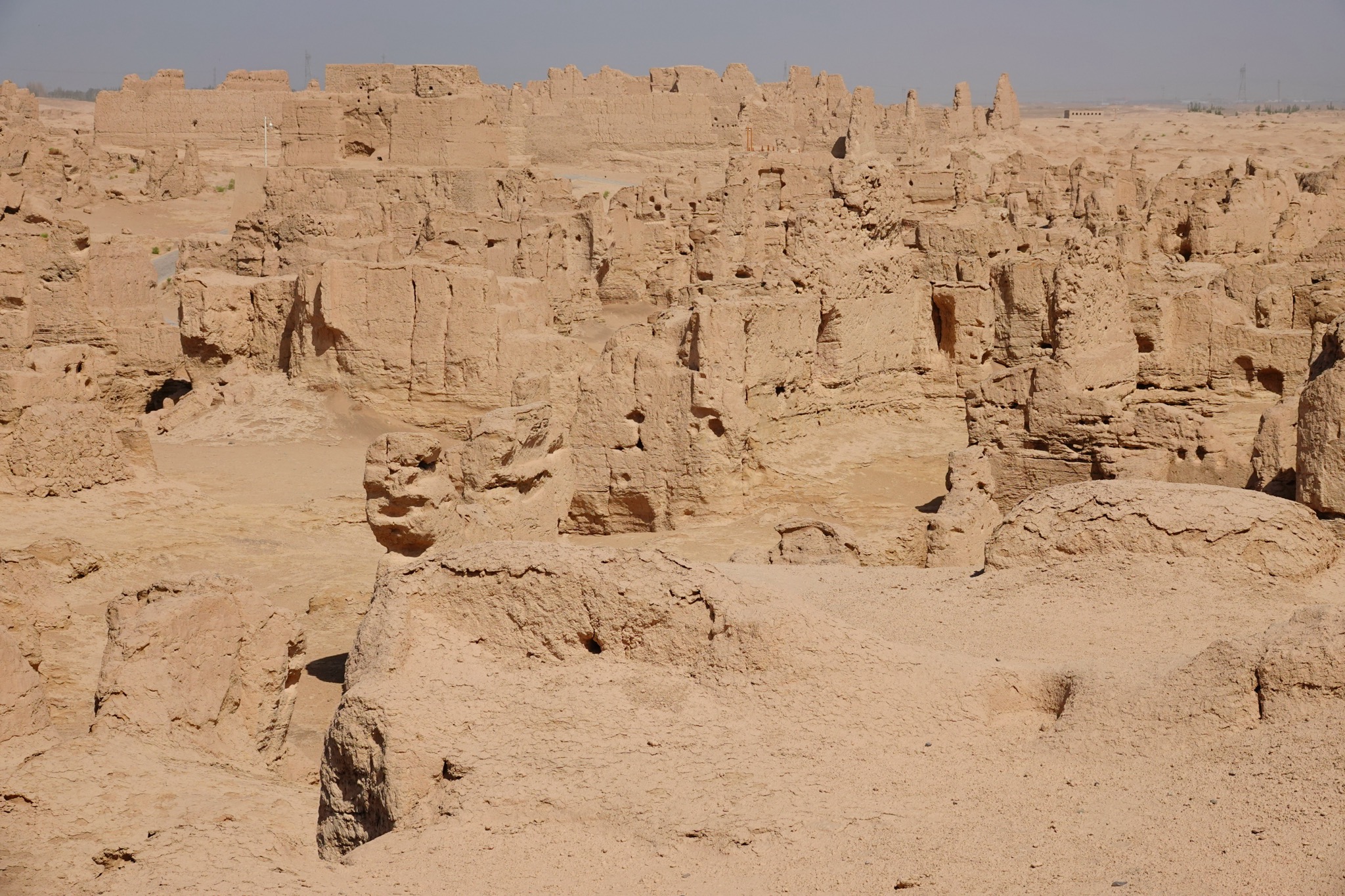
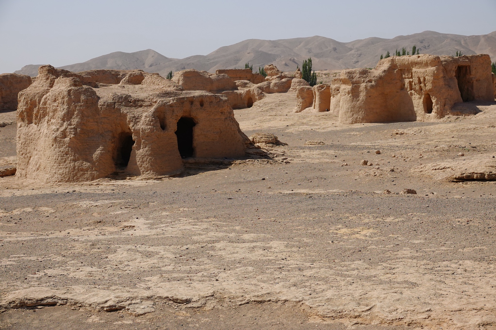
Jiaohe (交河故城, “Jiaohe Ancient City”) sits about 10 km west of Turpan and is one of the largest, oldest, and best-preserved earthen cities in the world.
Brief history
The name means “where the rivers meet” — the city occupies a steep-sided, leaf-shaped loess plateau formed where two river channels split and rejoin, creating a natural moat. Because of those 30-metre cliffs on every side, it never needed defensive walls.
It was founded by the Jushi (Cheshi) people and served as the capital of the Anterior Jushi Kingdom from around the 2nd century BCE. Its position made it a contested prize: the Han Dynasty fought the Xiongnu for control of the Turpan oasis, and Jiaohe later became an administrative centre under Han influence. Its peak came under the Tang Dynasty, when in 640 CE the Tang briefly based the Anxi Protectorate — their military command for the entire Western Regions — here before relocating it to Kucha. The city was finally abandoned after warfare during the Mongol/Yuan period in the 13th–14th centuries and was never resettled.
What makes it architecturally unique
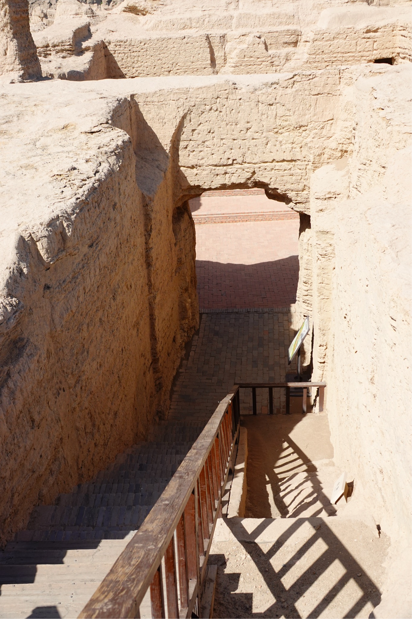
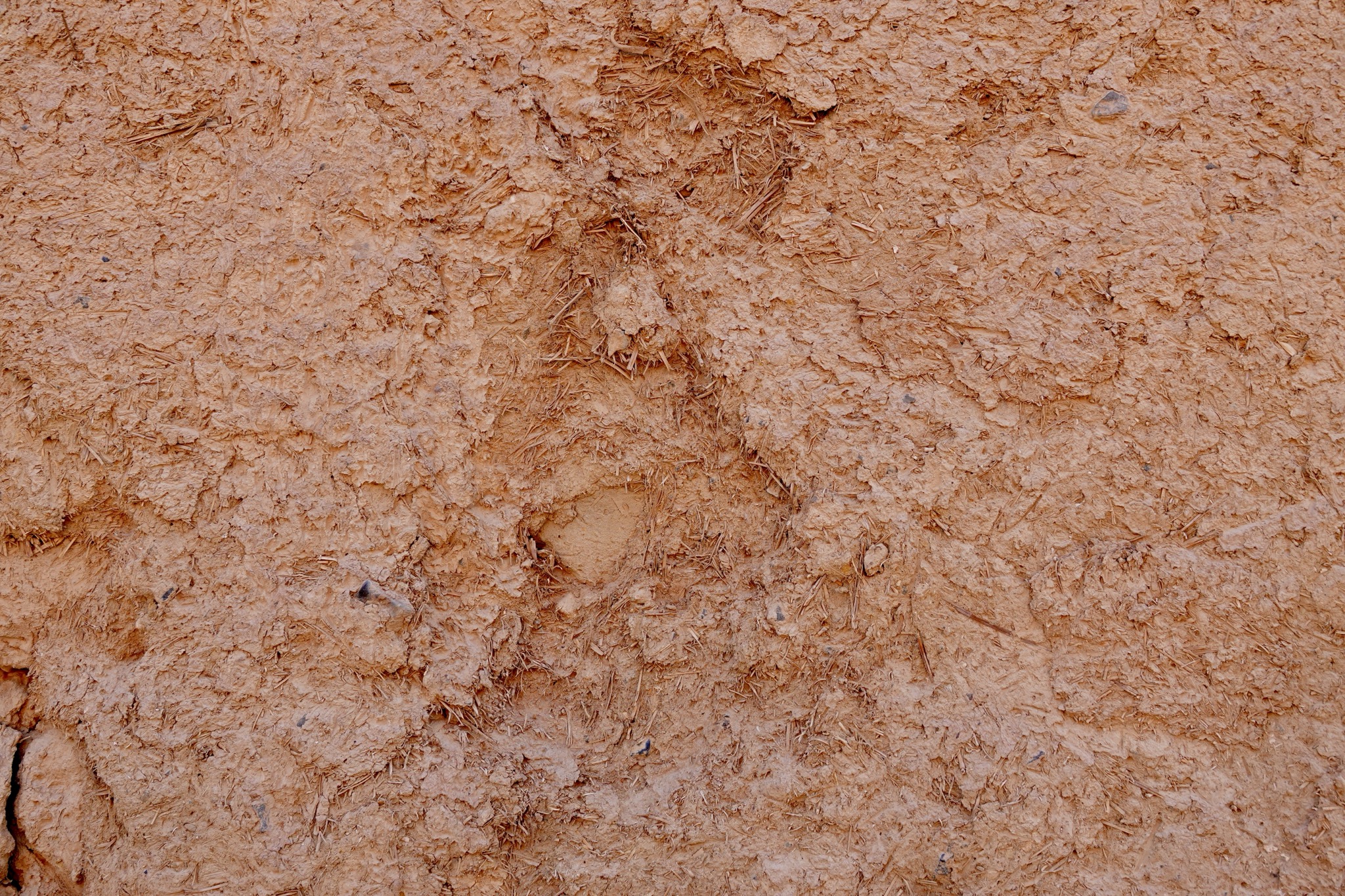
Most of Jiaohe was carved down into the earth rather than built up — streets, courtyards, wells, a large Buddhist monastery, and even a sunken stupa complex were excavated directly out of the natural clay, almost like sculpture in reverse. This subtractive construction, combined with Turpan’s extreme aridity (under 20 mm of rain a year), is why so much survives roughly 2,000 years on.
Cultural significance
Jiaohe is a vivid snapshot of the multicultural Silk Road: a Jushi settlement that absorbed Han Chinese administration, Buddhist religious life (the monastery and stupas point to its role as a Buddhist centre before Islam spread through the region), and the broader commercial traffic between China and Central Asia. It was inscribed as a UNESCO World Heritage Site in 2014 as part of the “Silk Roads: Chang’an–Tianshan Corridor” listing.
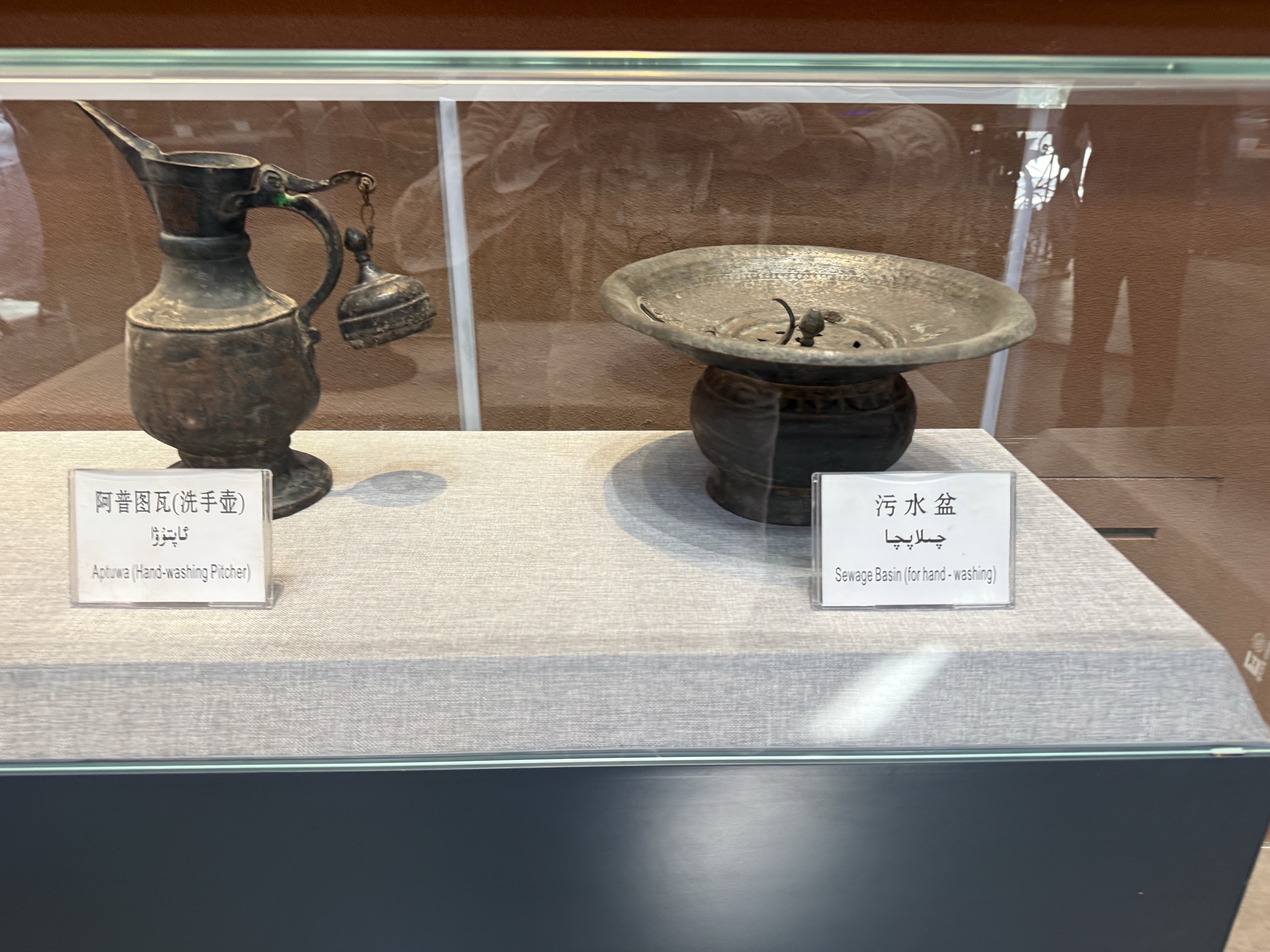
Karez
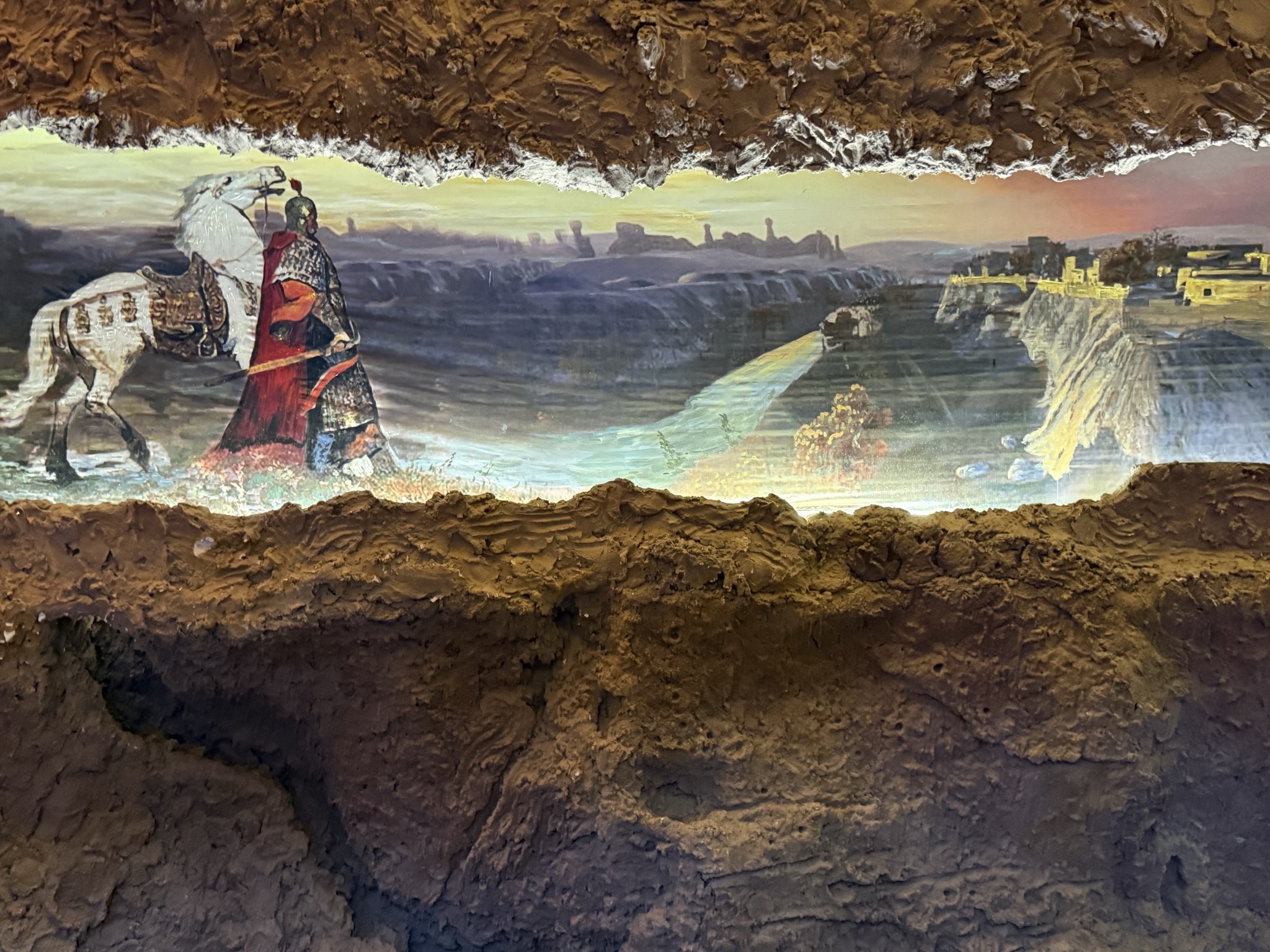
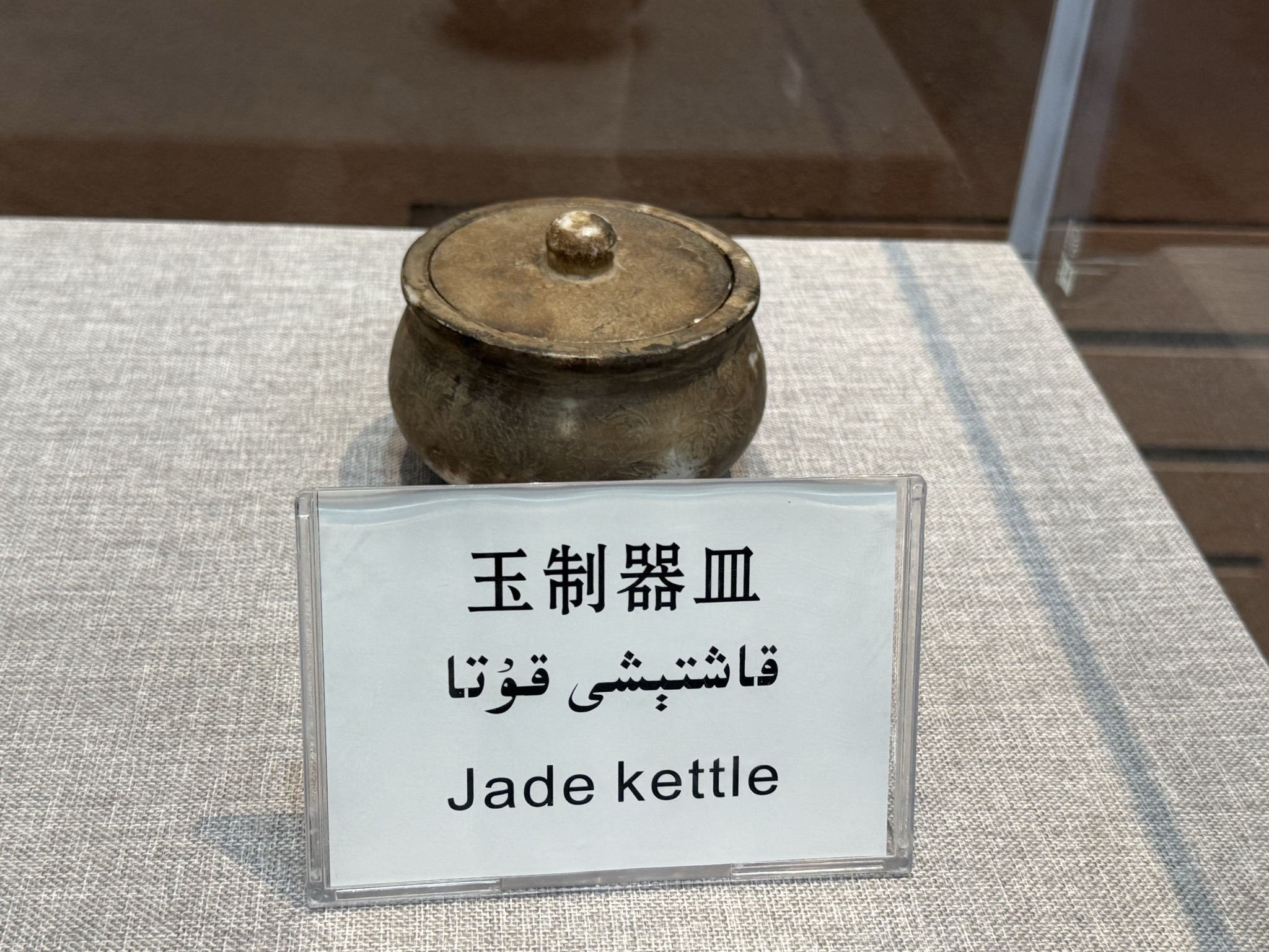
Karez Irrigation System — The engineering that makes the oasis possible: vertical wells linked by gently sloping underground tunnels that lead Tian Shan groundwater to the fields by gravity alone, with little evaporation. The technology is closely related to the Persian qanat, the same idea carried east along the trade routes. A museum in town lets you walk a section of tunnel and see how the wells march in lines across the gravel.